
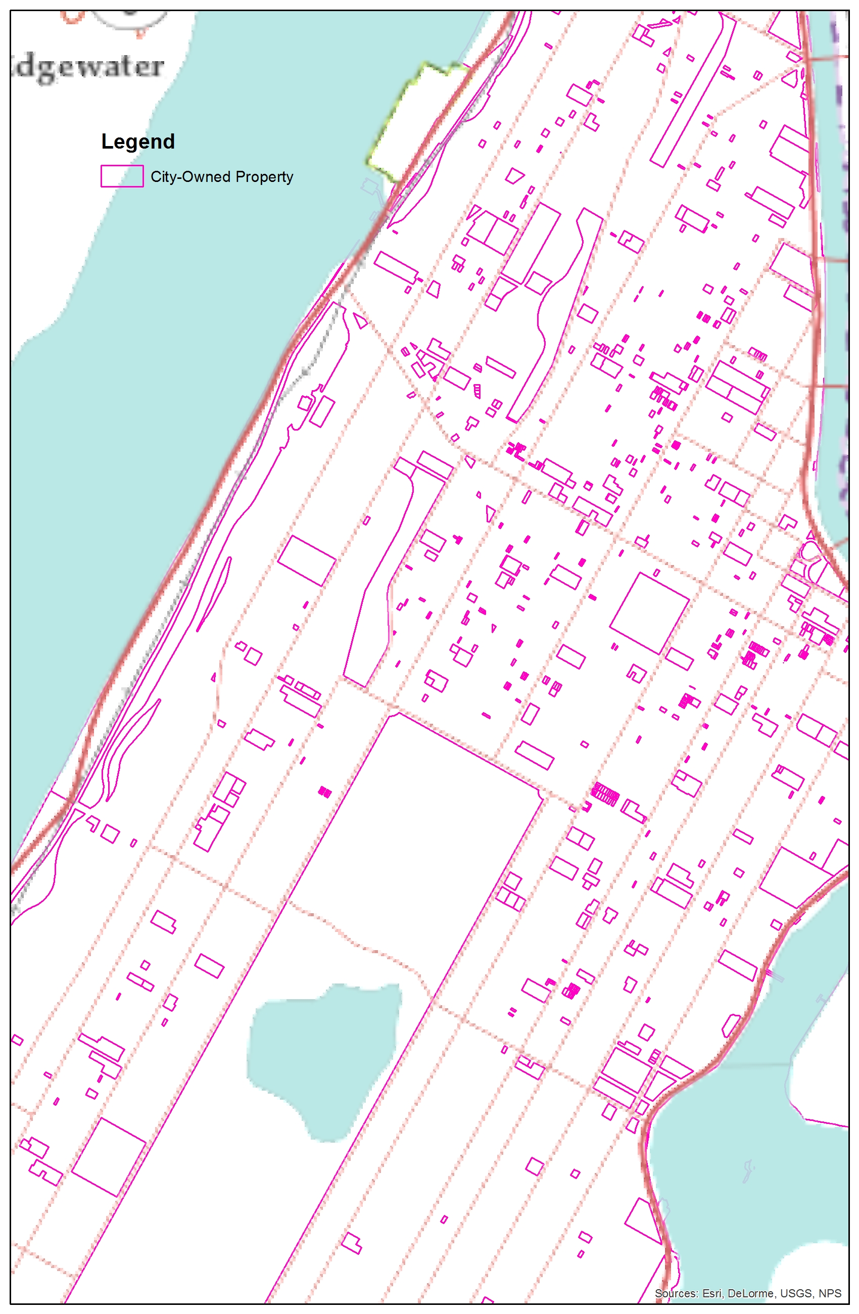
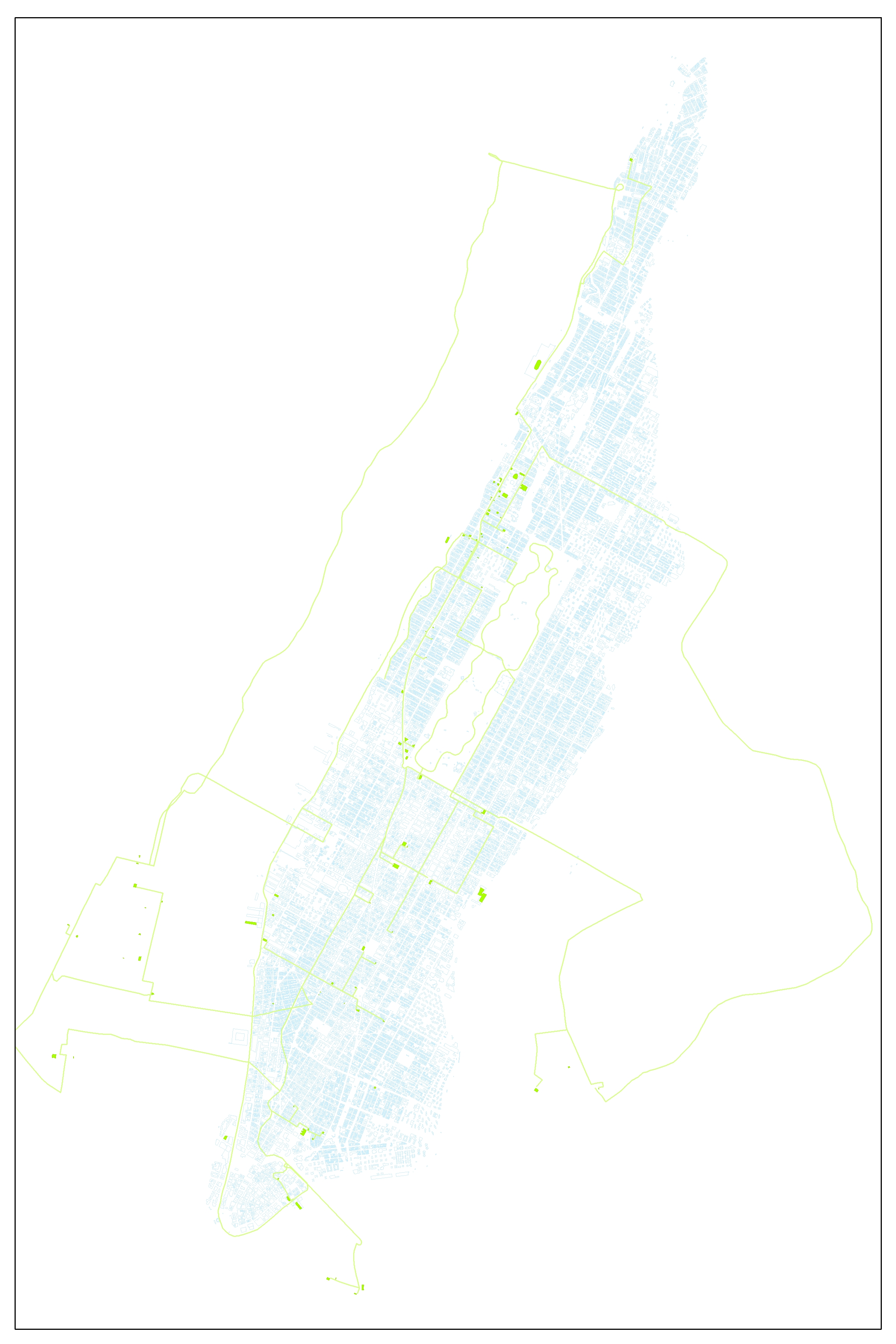
What NYC Owns in NYC
City-owned and leased property in NYC. Methods:
(1) Get City-owned and Leased Property (COP) list.
(2) Get Manhattan MapPLUTO parcel info (MNMapPLUTO).
(3) Add "Borough_1" field to MNMapPLUTO and use field calculator to make "Borough_1"="1" where "Borough"="MN" to make sure the borough identifier is common - 1 for MN - among the COP table and MapPLUTO layer.
(4) The parcels and COP table can be joined by their BBL (Borough, Block, Lot) numbers but unfortunately the BBL# is stored as three separate attributes, so use "Make Query Layer" tool to join the fields by their three respective attributes, using the SQL expression: ("COP.borough"="MapPLUTO.borough" AND "COP.block"="MapPLUTO.block" AND "COP.lot"="MapPLUTO.lot").
(5) Import new query layer into filegeodatabase.
Message for final COP shapefile.
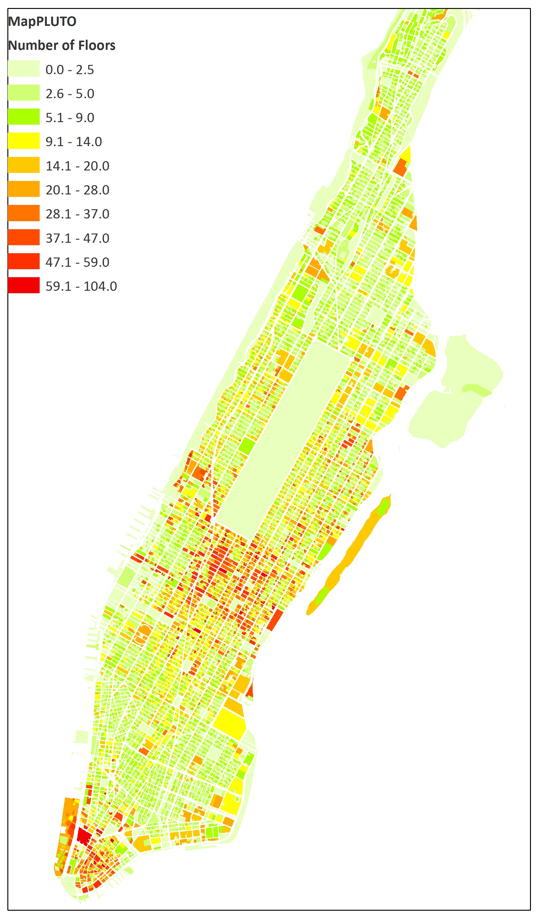
Number of Stories
Number of stories in Manhattan buildings. From 2014 MapPluto tax information.
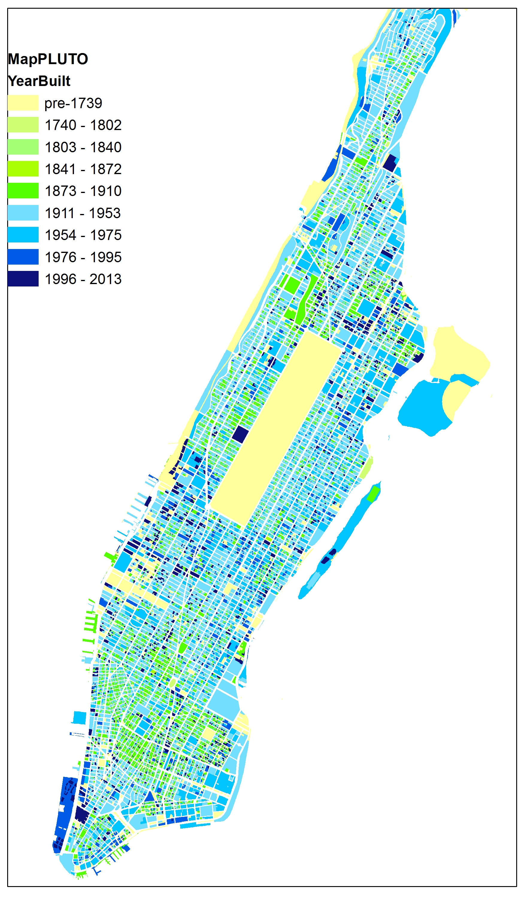
NYC Year Built
Manhattan buildings, year built. From 2014 MapPluto tax information.

NYC Building Area
Manhattan buildings, sq ft building area. From 2014 MapPluto tax information.
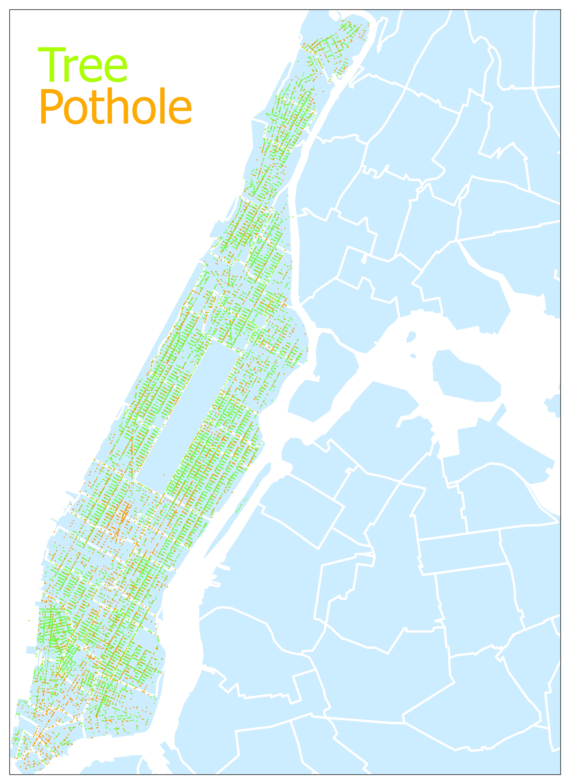
Manhattan Trees & Potholes
All trees and potholes in Manhattan in 2012. Data from NYC Open Data street tree census and 2012 311 complaints to the Department of Transportation. For Melika.
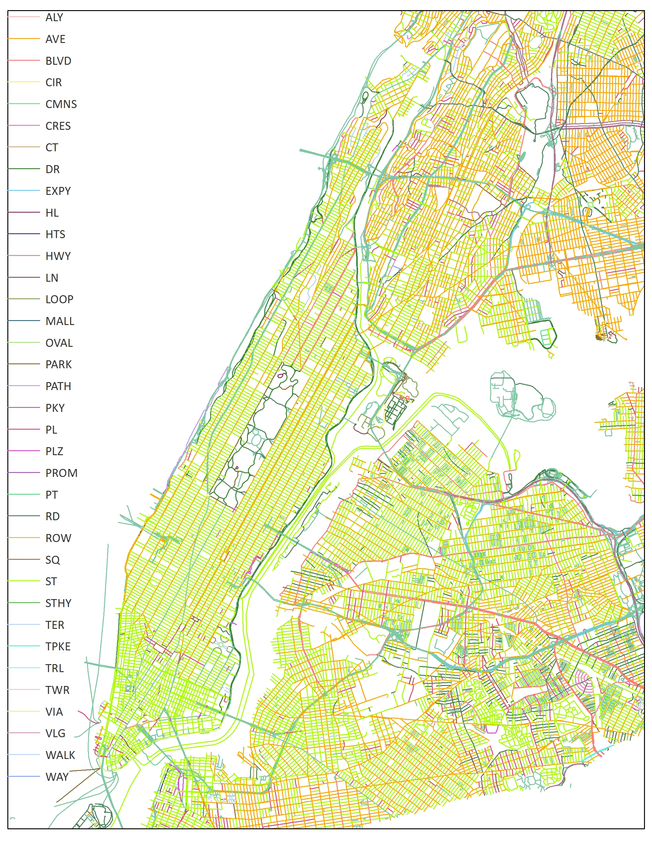
NYC Street Types
NYC street centerlines by street type. Data from NYC Open Data.
NYC: Sarah and Will
Sarah and Will play in NYC. Locations spring 2012-fall 2013.
NYC Elevation
NYC elevation raster. Data from NYC Open Data.
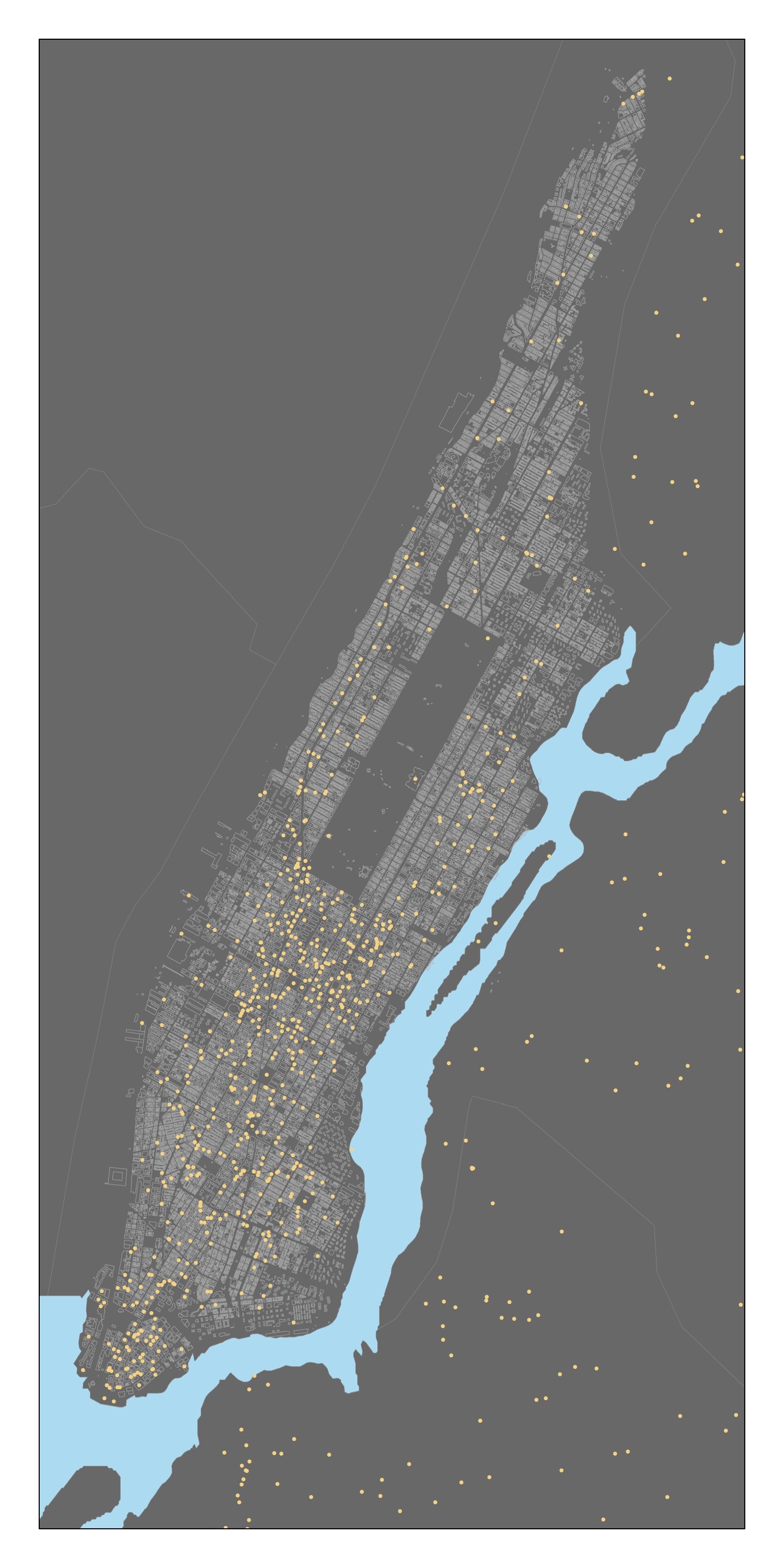
NYC Wifi
NYC wifi points. Data from NYC Open Data.
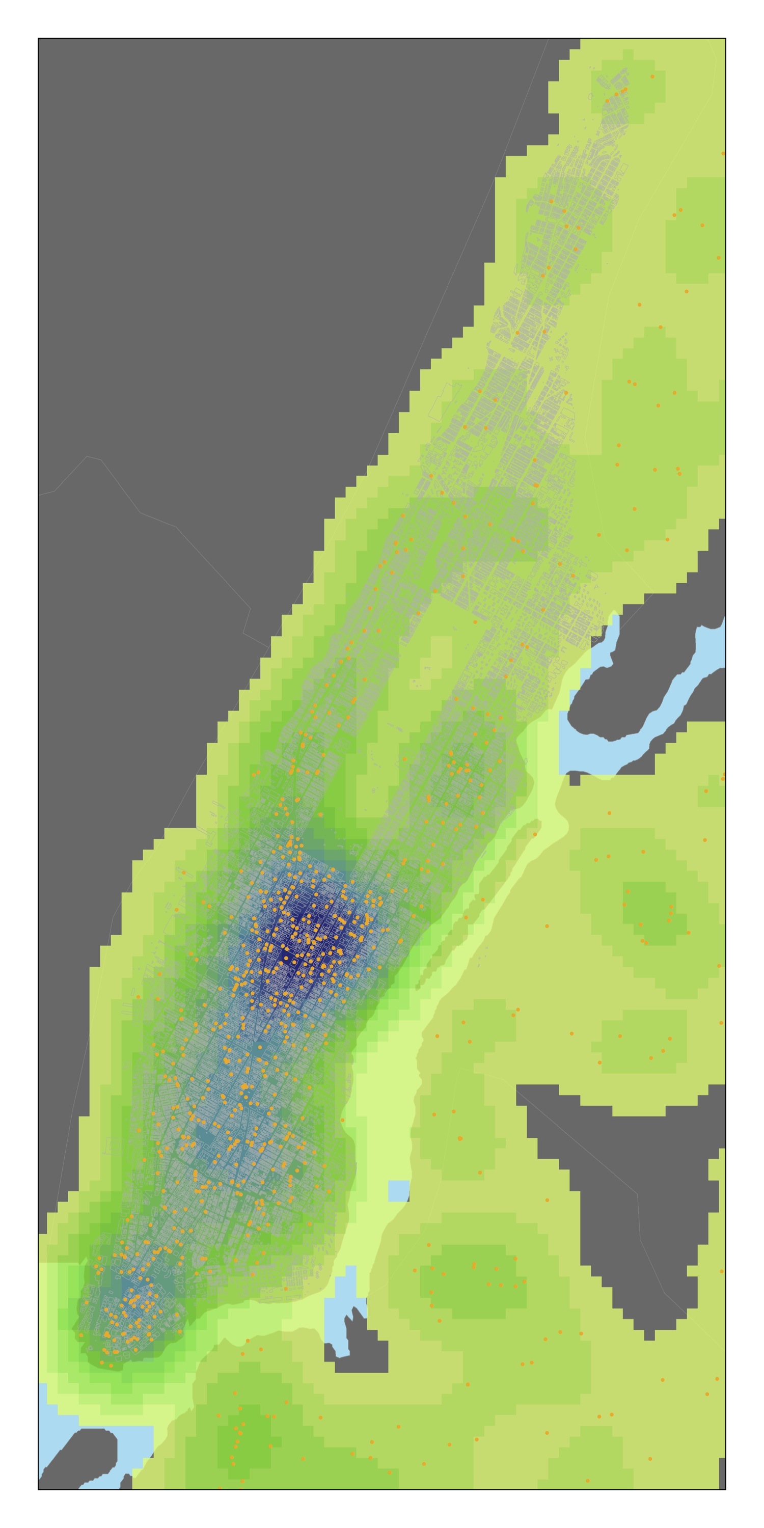
NYC Wifi
NYC wifi heat map. Data from NYC Open Data.

NYC Traffic Counts
AADT Count: Average Annual Daily Traffic count of total volume of cars on any given road over one year, divided by 365 days. Data from NY State Department of Transportation Traffic Data Viewer.